

Meet GeoSolutions at Smart City Expo World Congress 2026 (Hall 2, Stand C161): open source geospatial platforms for cities
Dear Reader,
From November 3 to 5, 2026, GeoSolutions will be at Smart City Expo World Congress in Barcelona, Fira Gran Via, as part of the Italian Pavilion organised by ITA, the Italian Trade Agency. You will find Eleonora Fontana and the GeoSolutions team in Hall 2, Stand C161. If you are planning to attend and want to talk about geoportals, urban digital twins or open data infrastructure for your city, write to sales@geosolutionsgroup.com and we will book a slot at the stand.
From inspiration to implementation
The theme of this year’s congress is “From Inspiration to Implementation”, and it fits well with what we hear from cities every day. Most administrations already have the data: cadastre, urban planning, mobility, energy, civil protection, 3D surveys. The hard part is not collecting it. The hard part is publishing it through standard services, integrating it with the systems already in place, giving citizens and departments a usable interface, and keeping all of this running for years without depending on a single vendor.
This is the ground we work on with GeoServer and MapStore, two open source platforms that we develop, maintain and support, and that are in production in cities across Europe and beyond.
Cities that are already doing it
A few examples we can share publicly.
Rennes Métropole led the project that made MapStore the viewer of the geOrchestra spatial data infrastructure, together with Communauté d’agglomération du Puy-en-Velay, Région Hauts-de-France, Région Grand-Est and CRAIG. The work brought application contexts, map catalogues and map templates into MapStore, plus dedicated tools for cadastral consultation and urban planning. It is in production in Rennes and the features funded by these organisations are now part of the public MapStore release, available to every city that adopts it.

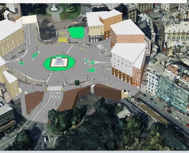
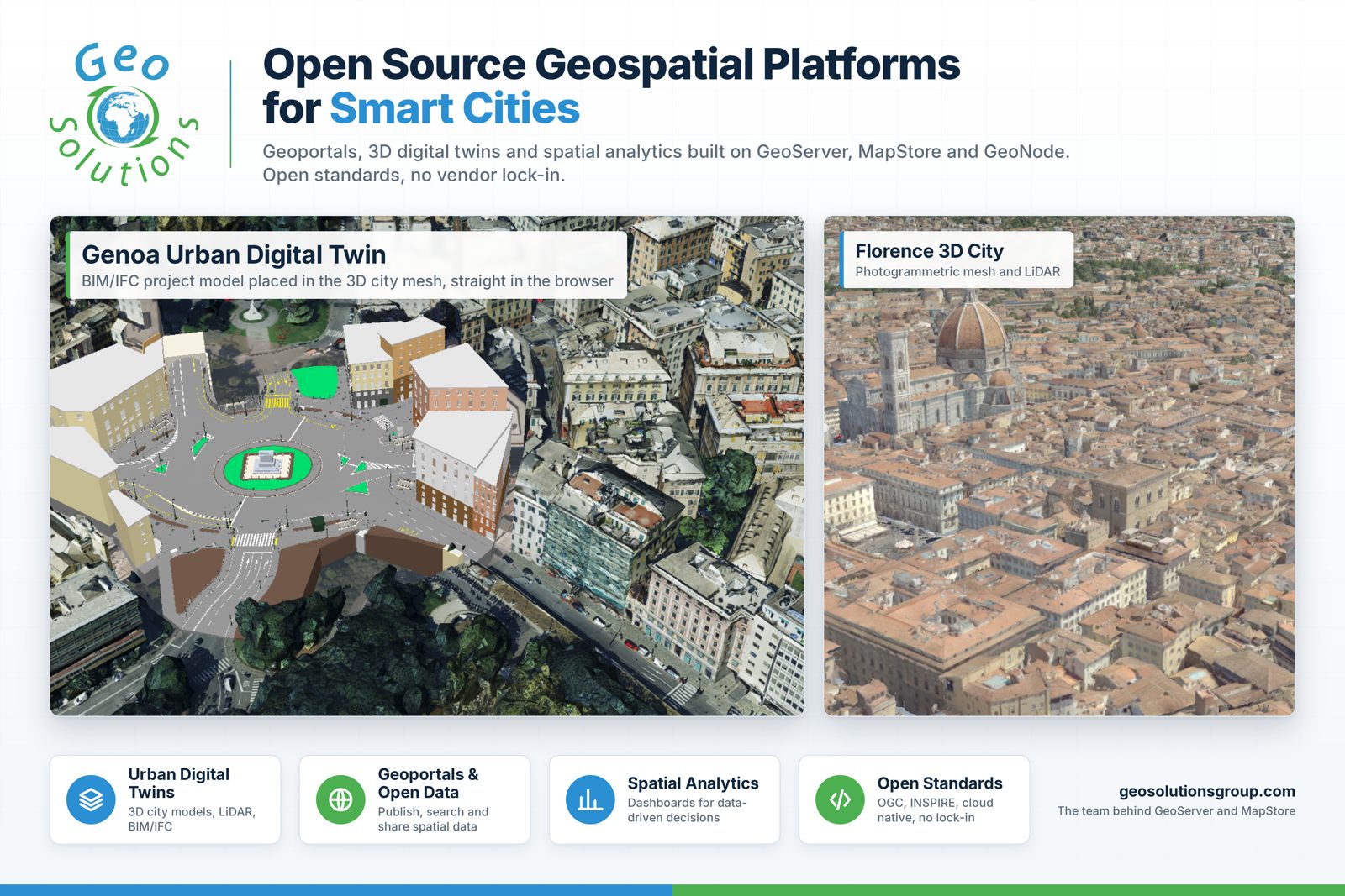
The City of Genova runs a hybrid geoportal where MapStore and a clustered GeoServer, with GeoFence for fine grained access control and GeoWebCache for tile caching, sit next to the existing Oracle and Active Directory infrastructure. Citizens log in with SPID, the Italian digital identity. The platform publishes civil protection data, acoustic zoning, cadastral layers and energy efficiency maps, and offers dashboards for snow emergencies, tourism, accessibility and energy. It has handled real time publication of election results on top of the usual traffic. Genova is now moving towards an urban digital twin with the same stack, bringing BIM and IFC models into the 3D city view directly in the browser.


For the City of Florence we built a digital twin of the UNESCO city centre, with 3D buildings and features extracted from LiDAR such as roofs and trees. The processing pipeline is our open source Digital Twin Toolbox, which turns point clouds and meshes into OGC 3D Tiles that MapStore streams to any browser, no plugin required.

Beyond our own projects, GeoServer is the engine behind the open geographic data of cities like Helsinki and Vienna, which publish their datasets as WMS and WFS services for developers and citizens. If you want to see what MapStore does with 3D city data, the Genoa city views and the Milan underground demos are online.
The stack
GeoServer publishes raster and vector data through OGC and INSPIRE compliant services, from a single municipal dataset to national infrastructures, with GeoFence for security down to the attribute level and GeoWebCache for fast tiles. MapStore is the web front end: interactive maps, dashboards, 3D views and geostories in one framework, mobile first, embeddable in any city portal. GeoNode adds a catalogue and a data management layer when a city wants a full open data platform. All three are open source and we sit on their steering committees.
Digital sovereignty, in practice
Digital sovereignty is on the agenda of many administrations, and for good reason. For a city it comes down to a few practical questions. Who owns the code that runs your data? Where does the data live? Can you move to another provider, or run it yourself, without rewriting everything? With open source platforms and open standards the answers are simple. The code is public, the services speak OGC, the deployment runs on premises or on the cloud the city chooses, and the know-how stays with the administration. No licence fees that grow with usage and no lock-in.
Software is not enough
Open source only pays off in production if someone answers when things break. This is where we come in. Our Enterprise Support Services give cities and their system integrators direct access to the engineers who write GeoServer and MapStore, with defined service levels. Deployment Subscriptions cover hardened builds and upgrades. Professional Training brings your team up to speed. And when a city needs something the products do not do yet, we build it and, whenever possible, contribute it back so every other city benefits, as happened with Rennes and geOrchestra.
Meet us in Barcelona
Hall 2, Stand C161, Italian Pavilion, November 3 to 5. Eleonora and the team will be there for the whole event. To fix a meeting in advance, write to sales@geosolutionsgroup.com.
As always, call on us, the core code developers and experts on:
- GeoServer, the leading open source server to publish geospatial data at scale.
- MapStore, our modular open source WebGIS product to create and publish geospatial data as maps, dashboards and geo stories.
- GeoNode, the open source GIS platform to create a complete and interoperable spatial data infrastructure.
If you are interested in learning more about how we can help you achieve your needs with MapStore, GeoServer, GeoNode and GeoNetwork through our Enterprise Support Services, Professional Training Services and Subscription Services please contact us!
The GeoSolutions team,

See also
- Smart City Expo World Congress 2026
- MapStore Corporate Page
- GeoServer Corporate Page
- City of Genova case study
- MapStore for geOrchestra, Rennes Métropole
- Digital Twin Toolbox