Building and Consuming Urban Digital Twins with Open-Source Tools

<< Update, you can find the recording and the slides in the comments below>>
Dear Reader,
In an era where urban development demands innovative solutions, this webinar describes processes and tools used by the GeoSolutions team to build and consume digital twins for various customers focusing on urban environments like City of Genova and City of Florence in Italy.
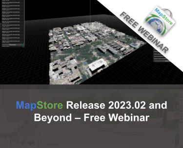
Leveraging the latest advancements in open-source geospatial technology, in this webinar we will guide attendees through the process of transforming vector data and point cloud datasets openly available for the city of Washington DC, USA, into a 3D model according to the 3D Tiles format, using open-source tools in order to consume them within MapStore WebGIS framework (thanks to its support for Cesium JS). This webinar is designed around the usage of pipelines and cutting-edge 3D visualization techniques, directly applicable to real-world urban contexts, with a live demonstration over the city of Washington DC.
Participants will gain exclusive insights into the development of digital twins, drawing upon our team’s extensive experience with urban reconstruction projects. The webinar will showcase how these digital replicas serve as essential tools for urban planning, facilitating detailed analysis, scenario planning and public engagement. Attendees will have a unique opportunity to learn skills to convert and visualize this data on the web using 3D Tiles format within a MapStore instance. This process will not only demonstrate the conversion of geospatial data into 3D Tiles format ready to be served over the web but will also underscore the importance of interoperability and accessibility in geospatial data management.
Through this webinar participants will:
- Learn how to effectively convert vector (shapefiles) and point cloud (las) data into 3DTiles format compatible with MapStore and Cesium JS.
- Explore the MapStore (and GeoNode) WebGIS application for enhanced 3D visualization and GIS capabilities using the generated 3D Tiles.
- Get access to a docker artifact containing the tools presented during the webinar with sample data from the open data portal of Washington DC to replicate the process
A basic understanding of python and javascript languages is needed even if most of the processes and interactions will be done with a dedicated user interface. This session is ideal for GIS professionals, urban planners, researchers, and anyone interested in the forefront of geospatial technology and urban development repository with the setup of all the tools used during the webinar is available here.
Participants will gain exclusive insights into the development of digital twins, drawing upon our team’s extensive experience with urban reconstruction projects. The webinar will showcase how these digital replicas serve as essential tools for urban planning, facilitating detailed analysis, scenario planning and public engagement.
Join us on June 13th 11:00 AM in Eastern Time / 5pm Central European to explore how the synergy between GeoNode, MapStore, and innovative 3D data processing can pave the way for smarter, more sustainable urban futures. Registering at the link below!

If you are interested in learning about how we can help you achieve your goals with open source products like GeoServer, Mapstore and, GeoNode make sure to talk to us!
The GeoSolutions team


