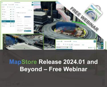
FREE Webinar: MapStore Major Release 2024.01 and Beyond

Dear Reader,
Join us Tuesday October 1st 2024 at 11AM Eastern (11 AM Eastern / 5PM CET/ other time zones here), for the next free webinar as part of the GeoSolutions instructional webinar series on open-source software products, including GeoServer, GeoNode, and MapStore. On October 1st we will be featuring MapStore. You will have the opportunity to see all the new features of the latest major release 2024.01, discover what is coming in the near future, and interact with the core developers of MapStore. You can register here below for free!
This release introduces a wide range of new interesting features, here is a selection of our favorite ones. For the full list you can read this blog post.
New Table of Contents
The MapStore TOC has been completely redesigned with many new functionalities and enhancements on existing capabilities resulting in a overall UI/UX improvement for MapStore users:
- Many new options available
- Simplified TOC with the new Legend mode
- Mutually exclusive groups and many other functions are now a reality in the MapStore TOC
- Toolbar improved to better manage tools and TOC actions
- A new contextual menu makes the UX improved a lot for MapStore users
New Annotations
The Annotations tool has been also completely redesigned with an improved and new UI/UX including many enriched and new functionalities for 3D such as:
- Editing of 3D vector features
- Improved UI and editing aspects in general to provide a better user experience with more refined and user friendly controls
- Advanced styling including also 3D models symbolizers
- Better interoperability with other GIS applications with the improved import/export functions and many many more
IFC and Gltf 3D models support
The evolution of 3D functionalities is not stopped at all. Indeed, starting from MapStore v2024.01.00 there is the support for IFCs 3D models format as a new layer/source type. Basic layer functionalities are supported also for this new layer type as well as specific positioning controls provided to finely place the model layer in the desired position in the map such as: Lat, Lon Heading. Furthermore, the Visual Style Editor has been improved to better handle 3D model rules to be able to finely tune the GLTF position by given x/y.
GeoProcessing tool
The geo processing capabilities have been enriched so that it is now possible to use vector layers coming from measurements, annotations or imported vector files to perform supported geo processes. Some hardening has been also provided in 2024.01 series for the overall tool functionalities where a better error handling is now available as well as an improved user notification system.
Registration information
To learn more about the new features and interact with the core developers of MapStore (Lorenzo Natali and Tobia Di Pisa), I cordially invite you to a free webinar on Tuesday October 1st 2024 at 11:00 Eastern Time / 5:00 PM CET (check other time zones here) by registering at the link below!
Looking forward to seeing you on the webinar!
If you are interested in learning more about how we can help you develop a WebGIS using MapStore or help you achieve your needs with MapStore, GeoServer, GeoNode and GeoNetwork through our Enterprise Support Services, Professional Training Services and Subscription Services please contact us!
The GeoSolutions team,


