

Professional Training Services

Learn directly from the experts!
GeoSolutions provides professional training on GeoServer, MapStore and GeoNode worldwide.
Learn with the professionals who are part of the core development team behind these open source technologies.

Training Classes Catalogue
Click on the links below to get detailed information about training classes’ content.

- Getting started with GeoServer
- OGC services with GeoServer: Mastering maps
- OGC services with GeoServer: Advanced services
- Creating beautiful maps in GeoServer
- Serving spatiotemporal data with GeoServer
- Mastering security with GeoServer
- Enterprise class deployments with GeoServer
- INSPIRE services with GeoServer
- Advanced Data Optimization for GeoServer


Book an online class, now!
The right place to learn more about…
- Publishing geospatial data using GeoServer
- Scaling GeoServer in the cloud efficiently
- Tuning for GeoNode or GeoServer
- Enabling enterprise security
- Developing rich web portals using MapStore
- Installing and configuring GeoNode
Training specialists since 2006
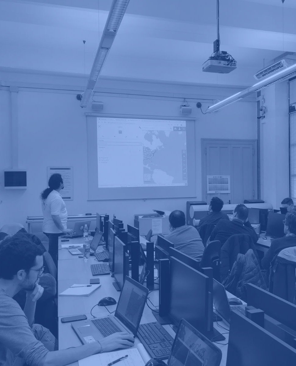
GeoSolutions has been providing training privately for clients and also during public events in global, regional, and national conferences (e.g. FOSS4G, GEOINT and INSPIRE conferences).
Trainings can be provided online or onsite allowing rich interaction between trainers and students.
GeoSolutions also provides videos and all the materials to the students.
Want more information?
Who we are
GeoSolutions is one of the world’s leaders in supporting open source geospatial software. GeoSolutions has been providing robust solutions since 2006 to more than 200 satisfied customers world wide. The GeoSolutions team is composed of main contributors of GeoServer, GeoNetwork, MapStore, GeoNode and other popular open source projects. GeoSolutions actively participates in OGC Working Groups and are continuously being funded by the OGC Innovation Program to advance industry open standards. GeoSolutions, not only implements OGC standards, but also those published by the ISO Technical Committee 211 for documenting, processing and disseminating raster and vector geospatial data.
Let’s talk!
Fill the form below and we will get in touch with you shortly.