Blog

GeoSolutions at FOSS4G Europe 2026

Dear Reader, We have just wrapped up an incredible week at FOSS4G Europe 2026, and we couldn’t be more excited to share the highlights of our participation! Held in Timisoara, Romenia last week, this year’s edition was packed with insightful talks, engaging community discussions, and excellent opportunities to connect with fellow open-source GIS enthusiasts. GeoSolutions was proud to take part in the event once again, with several presentations and contributions from our team, covering updates and deep dives on GeoServer, GeoNode, MapStore, and more. GeoSolutions GeoSolutions also supported the event as a Silver sponsor, continuing our commitment to fostering open geospatial...

More

GeoServer 3.0 is here

GeoServer 3 is here: from crowdfunding to release GeoServer 3.0.0 is now generally available. This post is not a feature announcement, those have been written, and the release notes cover the details. This is something we get to do less often: closing the loop on a promise. The modernisation work the community funded is finished and shipping, and we want to account for what that funding set out to achieve and what it delivered. The result is a platform brought back onto a current, supported foundation. The work reached across the wider ecosystem rather than GeoServer alone, and the scope...

More
MapStore Release 2026.01.00

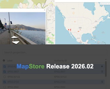
MapStore 2026.01.00 Release

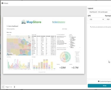
We are pleased to announce the release of the new series 2026.01 of MapStore, our flagship Open Source WebGIS product. On GitHub it is possible to consult the full list of new features, enhancements and fixes we have provided in version 2026.01.00 . We would like to thank all contributors who made this release possible, in particular KFW, Vlaanderen, Total Energies, Genoa Municipality, Cleveland Metroparks and Deutsche Bahn for their valuable contributions (the full list is available at the v2026.01.00 release page in Github). The 2026.01.00 version introduces a wide range of enhancements focused on dashboard usability, data interaction, advanced visualization, and...

More

GEOINT 2026 Symposium: Delivering Real Impact With Open Source Geo

Dear Reader, A key theme of the keynote speech by Major General Paul Lynch of NATO was interoperability - getting systems and data to work together across teams in disparate environments.  This is only compounded by the availability of massive data and AI-generated derivatives.  Furthermore, SOCOM and others have expressed the need to break free from vendor-locked software stacks. During the Lightning Talk Session in the Innovation Corner, I had the privilege of presenting on how open-source geospatial technologies such as GeoServer, GeoNode, and MapStore address the need for system modernization and interoperability expressed at both GEOINT and SOFIC. "Delivering...

More

GeoSolutions Exhibiting and Presenting at GEOINT 2026 Symposium

Dear Reader, GeoSolutions will be exhibiting at GEOINT Symposium 2026 in Denver, CO in Booth #1123. The theme of GEOINT 2026 is "Building A Secure Future", underscoring the importance of collaboration in applying GEOINT towards addressing security challenges.  Open Source geospatial software aligns with the core tenets of GEOINT: Accuracy, Integrity, Timeliness, and Interoperability, we will be showcasing this at GEOINT 2026. Simone Giannecchini, President/CEO of GeoSolutions, will be presenting on GeoServer in the "Introduction to GeoServer" workshop at 2PM-3PM on Tuesday May 5.  This workshop will provide not only an introduction to one of the most foundational open-source geo...

More
 

Archive

Blog feed